Top 10 Scenic Canal Path Bike Trails in Arizona
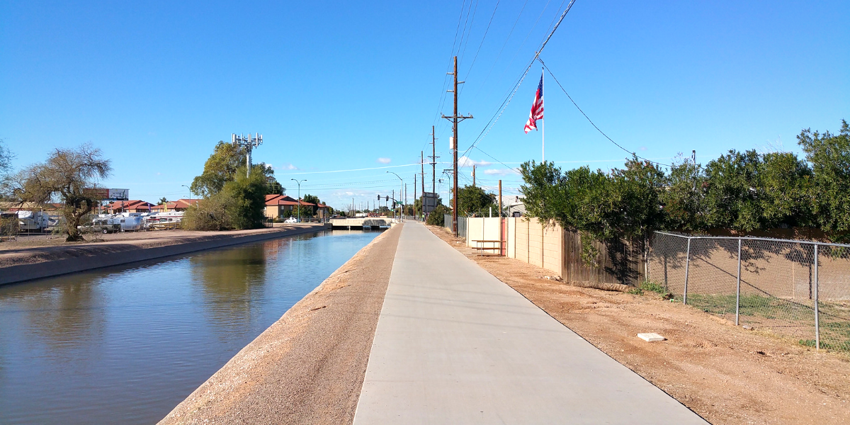
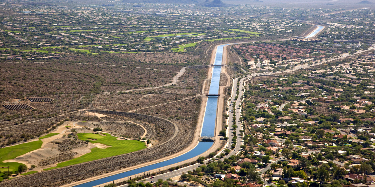
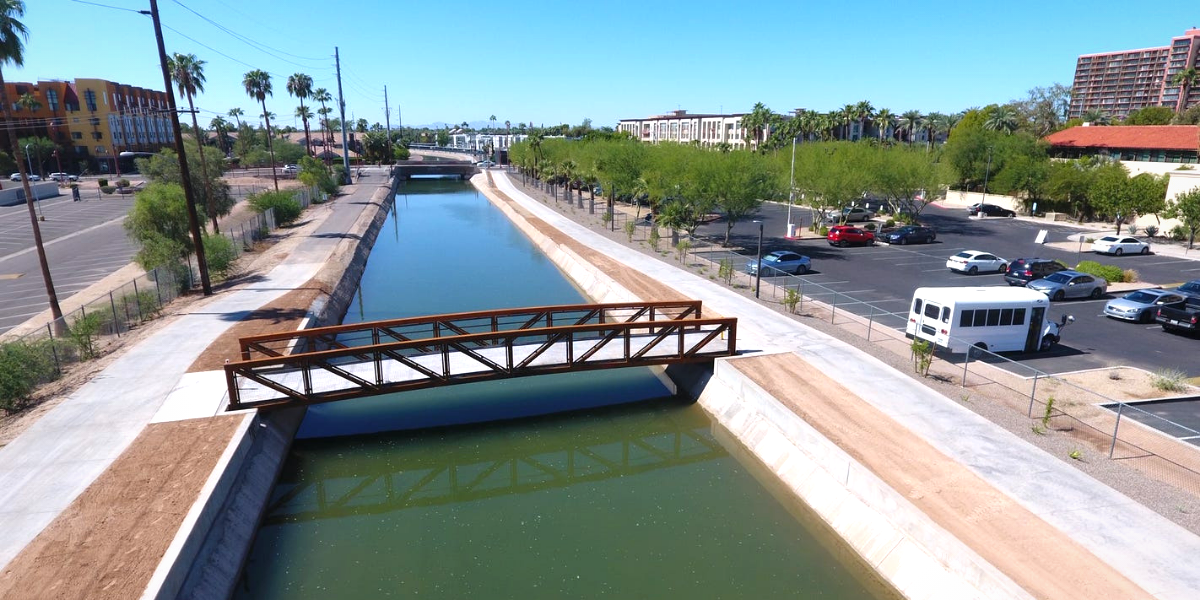
The Arizona Canal Trail runs between Phoenix and Peoria along the sides of the Arizona Canal and is one of the longer multi-use trails in Maricopa County. This Arizona Bike Trail is mainly used for walking, biking, running, and nature trips for tourists and locals alike and is accessible throughout the year. The Trail is nearly 30-miles long with various trails stretched across the way. These canals were originally built centuries ago by the indigenous Indians.
The city of Phoenix, in a partnership with Salt River Project and local businesses, has built all kinds of recreational areas along the canal for bikers, joggers, etc. except for motorized vehicles. The Arizona Canal is used for supplying water to the valley, like many other canals for irrigation purposes. The canal extends from the Pima Indian Reservation on the East, to Glendale/Peoria on the West. You can use trail at almost any point along the way; but many start at Metro Center and travel East into Scottsdale.
The Arizona Bike Trail connects to many other trails along the way, including the Cave Creek Trail, the New River Trail, and the Skunk Creek Trail. The trail is also most popular for joggers and cyclists because there are many under paths and very little traffic to deal with. The trail is a combination of paved and gravel path that is perfect for biking. Follow a map to figure out the best route to take and enjoy biking.

1. Consolidated Canal Path
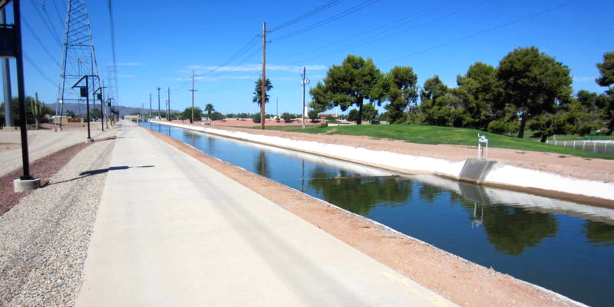
The Consolidated Canal Path is a gentle-grade path that connects Chandler also known to the locals as Paseo Trail, Gilbert also known here as the Heritage Trail and Mesa. This Canal Path is beautiful to look at as it goes through neighborhoods, farms, and parks. The path goes from South to North along the entire length of the Consolidated Canal, an 18-mile-long waterway that dates back to 1891. Waterfowl and fish can be spotted along the canal and fishing is permitted.
The Canal Path has both a gravel-surfaced trail and a paved path. The gravel trail is more popular with the horseback riders and joggers. One of the focus points of this route is Paseo Vista Recreation Area in Chandler. This is a 64-acre park on top of a former landfill that has a large archery range, disc golf, and playground.
On opposite sides of the canal, only a gravel path is available between Warner Road and Lindsay Road in Gilbert and Riggs Road to Hunt Highway in Chandler. In Gilbert, bikers can ride the Western Canal Path to head towards Phoenix. From the trail's northern endpoint in Mesa, you can ride west on the Tempe Canal Path or head north on the Southern Canal Path to enter the Salt River Pima–Maricopa Indian Community.
2. Grand Canal Path
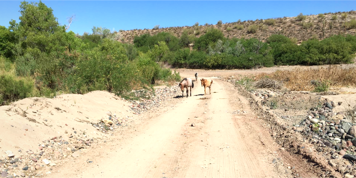
The Grand Canal Path is a bike trail that connects to the New River Trail, heading up north into Peoria. The trail offers both gravel and paved options on opposite sides of the canal, where the rougher surface is generally preferred by the horseback riders and joggers. Like many of the area's trails, the Grand Canal Path follows an irrigation canal, and in this case it is the Grand Canal itself, which was built in 1878 and is the oldest remaining canal north of the Salt River.
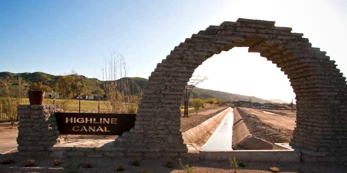
3. Highline Lateral Canal Path
The Highline Lateral Canal Path runs along the Highline Lateral Canal waterway through the Arizona cities of Phoenix and Tempe and the smaller town of Guadalupe which opens up in several disconnected side trails. This bike trail has both paved and gravel paths accompanied by sceneries that vary from suburban homes to shopping centers to open fields with gorgeous Mountain View.
4. Central Arizona Project to Arizona Canal Trail
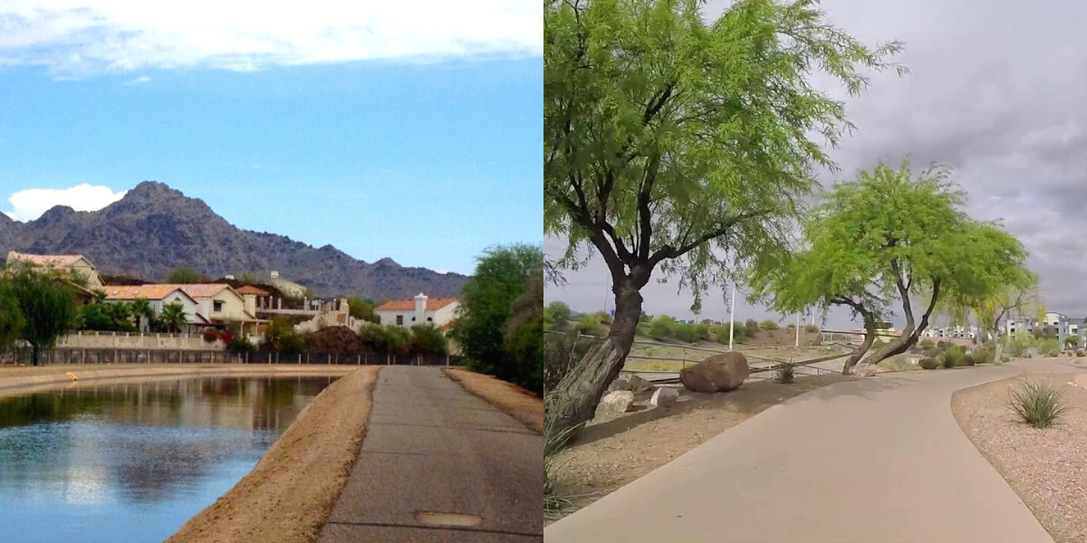
Through the north side of Scottsdale, the Central Arizona Project to Arizona Canal Trail links its two namesake waterways via a winding route. The bike trail connects to many other trails along the way, including the Pima Road Trail, Indian Bend Wash Trail, Arizona Canal Path, Paradise Park Trail, and Shea Boulevard Trail. Riding along the trail you will also get beautiful views of Marguerite Lake.
5. Western Canal Path
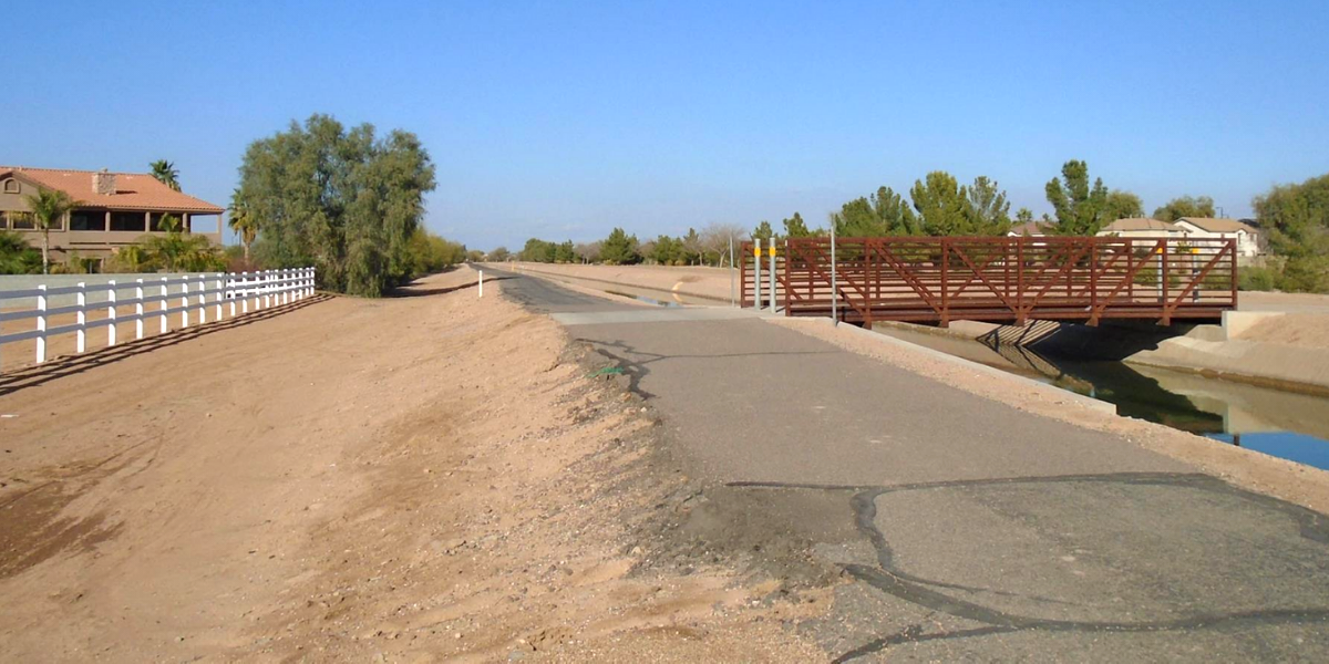
The Western Canal Path connects the cities of Phoenix, Tempe, Chandler, Mesa, and Gilbert on its east-west route for more than 20-miles. The trail has a smooth concrete surface through Tempe where it follows the Chandler/Mesa border. On the opposite side of the canal a gravel-surfaced trail is paralleled by the concrete trail for most of the route. The gravel trail is more popular with dog walkers, joggers, and hikers. The surface varies between crushed stone and concrete in Gilbert, but the surface on the western end in Phoenix consists completely of unimproved gravel.
6. Eastern Canal Path
The Eastern Canal Path spans the entire length of the Eastern Canal waterway that goes through Mesa, Gilbert, and Chandler in suburban Phoenix. The trail has a smooth paved surface in some places and rough coarse gravel in others and provides access to nearby residences, parks, and schools. On the northern side of the trail, an unpaved path goes along the South Canal as the Southern Canal Path. This path then provides access to the massive Arizona Canal Path in Salt River County and Maricopa Indian Community. You can take that trail westward to reach Scottsdale and Glendale.
7. Kyrene Canal Path
The Kyrene Canal Path runs through Tempe and Chandler, alongside the Kyrene Canal while providing a road connecting households, shops, businesses, and a golf course. The trail is mostly paved and beautifully landscaped throughout Tempe, but the path turns from paved to gravel and finally becomes a crushed stone path at the southern end in Chandler as it becomes more of a neighborhood dog-walking and jogging route.

8. Southern Canal Path
The Southern Canal Path is one of the several trails along the extensive canal network in Maricopa County. This trail is an unpaved route along the South Canal that links four other canal paths. Both the Tempe Canal Path and Consolidated Canal Path meet the Southern Canal Path at its southern end in Mesa. The trail meets the Arizona Canal Path at its northern end in the Salt River Pima–Maricopa Indian Community, and the Eastern Canal Path at its midpoint in Mesa.
9. Tempe Canal Path
The Tempe Canal Path runs parallel to the Tempe Canal between the cities of Tempe and Mesa. The trail contains two disconnected sections, divided by the private Mesa Country Club. Both sections of the trail are used as a pathway for a large number of residents, businesses, and public facilities. One side of the trail is entirely paved with an alternative gravel path for horseback riders and joggers on the opposite side of the canal.
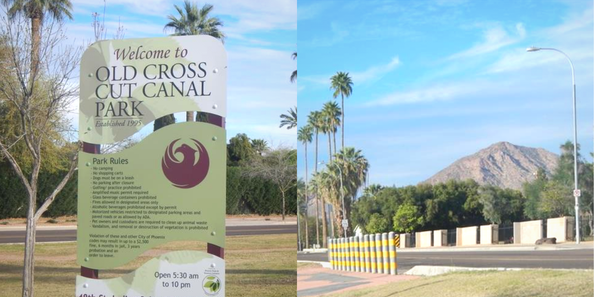
10. Old Cross Cut Canal Park Path
The Old Cross Cut Canal Park Path is a very useful resource for the community as the pathway connects nearby households to schools, recreational facilities, and shops as it goes through the Old Cross Cut Canal linear park. The path is a 2-mile multi-use trail running parallel to N. 48th Street in Phoenix.
The Old Cross Cut Canal Park Path by way of a short connector path from the trail's northern end leads to the Arizona Canal Path. Also there is no official parking available for this path. You can use the neighborhood streets for parking if you follow parking rules.